About the UTs
Learn more about the Unorganized Territories of Washington County.
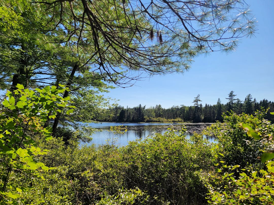
Overview
The Office of Washington County Unorganized Territories is responsible for a vast area, stretching from the T8R4/Aroostook County Line in the north to the Centerville Township/Jonesboro Town Line in the south. It extends from the Trescott Township/Lubec Town Line in the east to the Devereaux Township/Hancock County Line in the west.
The Washington County Unorganized Budget is funded by property taxes paid by owners in the 35 townships of Washington County. Additional funding comes from the Maine Department of Transportation’s Local Road Assistance Program (LRAP).
The office of Washington County Unorganized Territories provides various local services to residents of the Unorganized Territory of Washington County. This includes maintaining over 79.9 miles of local roads, both paved and gravel. These roads require regular summer maintenance, such as rebuilding, resurfacing, ditching, replacing cross pipes, cutting and clearing rights-of-way, and other preventative measures to protect critical transportation infrastructure.
This office also handles winter maintenance on over 96.8 miles of local and major collector roads. These services are provided through contracts with various contractors, the Maine Department of Transportation, and local municipalities.
As part of its highway maintenance program, Washington County is responsible for maintaining seven bridges located in the Unorganized Territory.
The Unorganized Territory Supervisor secures agreements with qualified contractors and service providers for a variety of services. Municipal services include:
- Roads and bridge upkeep
- Snow removal
- Garbage removal
- Fire & ambulance service
- Animal control services
- Cemetery upkeep
- Operation of polling places
- Shellfish conservation efforts
- General administrative services
- E-911 services
- Soil and water protection
Washington County Unorganized Territories is represented on the boards of directors for a Household Solid Waste/Construction Demo Transfer Station in Marion Township, the DownEast Ambulance Service in Baileyville, and the Northern Washington Southern Aroostook Regional (NWSAR) Ambulance Service. They also own and supervise the operation of a septage spreading site in Marion Township.
The Washington County Unorganized Territories employs a part-time Shellfish Warden to enforce a local shellfish management ordinance along the tidal shores. Additionally, they employ a part-time Animal Control Officer, who also provides services to nine other towns through municipal agreements.

Indigenous Beginnings
Before European settlers arrived, the indigenous Passamaquoddy people or their ancestors inhabited the lands now known as Washington County.[1] Traditionally, they spent the majority of the year in family group encampments, moving with the seasons and depending on hunting, fishing, and foraging to meet their daily needs.[2] Indigenous sites and places of worship are located throughout Washington County, like N'tolonapemk (Our Ancestors' Place) on the shore of Meddybemps Lake, or Kuwesuwi Monihq (Pine Island) which is located in the UTs, in Big Lake Township.
St. Croix Island (1604)
The establishment of the St. Croix Island settlement in 1604, now located in Washington County, Maine, represented a pivotal moment in the early colonial history of North America. This community, led by the French explorer Pierre Dugua, Sieur de Mons, predated the more commonly recognized Jamestown settlement in Virginia by a number of years, and was the earliest of its kind in what is now the Northeastern United States[1].
Dugua was sent by King Henry IV to settle the region and seek out precious metals. Unfortunately, the settlers were plagued by scurvy and extreme winter weather.[3] Though the Passamaquoddy people did their best to ensure the survival of the colonists by trading fresh meat and furs, the winter of 1604 proved too great a hardship for Dugua and his men.[3] When the settlement on St. Croix Island was finally found to be unsustainable, it was moved to Port-Royal, Nova Scotia, in 1605.[3]
European Settlement and Conflict (1675-1783)
From 1675 to the dawn of the American Revolution, Maine's landscape was a battleground for European colonial ambitions, with the native peoples caught in the throes of conflict. The period was marked by King Philip's War, which began in 1675, igniting a series of violent confrontations that would last for 50 years.[8]
The mid-18th century brought more conflict and transformation to the region with the French and Indian War (1754-1763), part of the global Seven Years' War. This conflict saw the British and French vying for control over North America, with Maine caught in the crossfire.[8] The British victory solidified their control over the region until the beginning of the American Revolution in 1775.[6][8][9]
The Treaty of Paris in 1783, which concluded the American Revolution, established the United States' independence and set the boundaries between the U.S. and British Canada, with the dividing line between Washington County and what is now New Brunswick, Canada, being established as the St. Croix River and Chiputneticook Lakes.[6][7]
Surveys and the Land Lottery (1784-1786)
The late 18th century saw significant development in the region, marked by Rufus Putnam's and Samuel Titcomb's surveys conducted from 1784-1786 and the Massachusetts Land Lottery of 1786-1787.[4] The Putnam and Titcomb surveys laid out townships and property lines, solidifying the boundaries of Washington County's cities, towns, plantations and unorganized townships.[4] Many of these boundaries have remained unchanged even in the present day.
These early surveys used a rectangular survey system of townships, ranges, and divisions, which gave rise to the numbered designations that many of the UTs still carry today. Two such examples are T8 R3 NBPP and T8 R4 NBPP, the site of the Stetson Wind Farm.
The land lottery aimed to distribute land to American Revolution veterans in order to pay off Massachusetts' war debts. While some of the land was located in previously settled and organized parts of the Maine, in many instances the offered land was situated within what is now Washington County's UTs.[4][5] The lottery was by and large not successful, with only 437 of the 2,780 lots being claimed.[5] The lands on offer were inferior compared to the already settled areas of the county, and investors preferred to purchase lots of higher quality.[5]
Bingham's Purchase and Aftermath (1786-1820)
In 1786, following the Massachusetts Land Lottery's failure to attract sufficient settlers to its remote and rugged “Lottery Lands”, Bingham seized the opportunity to draw several townships and eventually expanded his holdings by purchasing additional lands. His acquisitions totaled approximately two million acres, encompassing vast tracts of what are now Washington and Hancock counties, known as “Bingham's Penobscot Purchase”, as well as parts of Somerset County.[11]
The efforts of William Bingham to attract settlers to his Maine lands faced significant challenges. He struggled with the remote and undeveloped nature of the territories, and the contracts he made required the placement of a specific number of settlers on the lands, with a stipulation for 1,250 settlers on the Penobscot tract and 220 on six townships.[12] However, fulfilling these contracts proved difficult due to the harsh realities of the frontier life, the lack of infrastructure, and the distant management of the lands.[12]
As Maine approached statehood in the following decades, the challenges of absentee landownership and the exploitation of the region's resources by individuals such as Bingham and Henry Knox became more pronounced.[13] As Maine's economy grew, it became evident that the profits from these industries often did not directly benefit the local populations, leading to a push for statehood that would allow for more local control and reinvestment into the community.[13]
Statehood and the Unorganized Territories (1820-present)
Maine achieved statehood in 1820. In the decades that followed, some of Bingham's lands would be settled and organized as towns. These include Wesley, which was organized from T25 ED BPP and a portion of T26 ED BPP in 1833[14], and Centerville, which was organized from T23 ED BPP in 1842.[15] Many others remain unorganized, and all municipal services are handled either by Washington County or the State of Maine. Others still remain unnamed, like the previously mentioned T8 R3 and R4 NBPP.
Some of the townships that organized in the mid-to-late 19th century would eventually relinquish their organization, or “de-organize” and revert to unorganized status due to economic hardship or lack of residents. Such is the case for Lambert Lake Township, which de-organized in 1903[16], and Centerville, which de-organized in 2004.[16] Washington County's most recent deorganization was in 2019, when Codyville Plantation de-organized.[16] Dennysville, with just 326 residents, briefly considered deorganizing in 2023, but remains an organized town to this day.[17]
Bibliography
The following sources were used in the creation of this page:
- A Story of the Washington County Unorganized Territories - DigitalCommons@UMaine
- Culture & History | Passamaquoddy Tribe @ Indian Township
- Maine: Saint Croix Island International Historic Site (National Park Service)
- Turning Land Into Money from 1781-1786 - An Illustrated Timeline of Alexander, Maine - John Dudley - MaineThing.com
- Eastern Lands Papers Records, 1717-1860 - Massachusetts Secretary of the Commonwealth's Archives
- The American Revolution: A Concise History - Robert J. Allison
- A Territorial State: Geographic Expansion, the US Territories, and an "Introduction to American Politics" - Bartholomew Sparrow (2017) - Cambridge University Press
- Maine History Online - Mainers Go To War - Page 2
- Amerindian Power in the Early Modern Northeast: A Reappraisal - Emerson W. Baker and John G. Reid (2004) - JSTOR
- Washington County, Maine - RootsWeb Wiki
- Bingham, William - Maine: An Encyclopedia
- Volume 37 - William Bingham's Maine Lands 1790-1820 - Colonial Society of Massachusetts
- Maine Statehood: The Mexit from Massachusetts in 1820 - New England Historical Society
- Wesley - Maine: An Encyclopedia
- Centerville - Maine: An Encyclopedia
- Historical Deorganizations By Year - Maine Department of Audit
- Can a town just dissolve? Dennysville considers de-organizing.